By Margaret Baumgartner
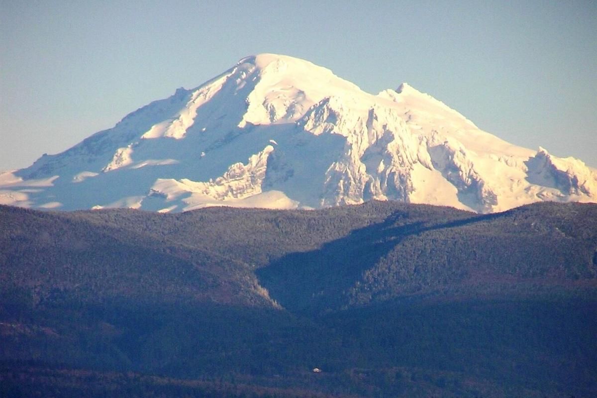
After a record-breaking earthquake swarm near Mount Rainier, researchers around Mount Baker continue to plan and prepare for volcanic activity.
Between July and August this year Mount Rainier experienced over 1,300 earthquakes. Now, the United States Geological Survey is working to identify similar activity at Mount Baker.
The earthquake swarm around Rainier broke the previous record set in 2009. Scientists have assured that these events are considered normal for the active volcano and are not cause for concern.
“There was another swarm like this that the conclusion was it’s not magma rising, it’s hot water inside the earth that got pressurized and injected into some new cracks and caused a bunch of tiny earthquakes,” Nate Stevens, staff seismologist with the Pacific Northwest Seismic Network, said.
Earthquake swarms around Rainier are thought to be caused by water and heat moving around beneath the crust above the magma chamber. The last eruption at Rainier was about 1,000 years ago, and monitoring of the volcano has only been conducted since the late 1980s. Researchers are still learning about the volcanic cycle at Mount Rainier.
Mount Rainier is considered the most dangerous volcano in the Cascade Mountain Range, posing the greatest risk to the Nisqually River valleys and cities such as Puyallup, Kent and Seattle. In Whatcom County, a smaller, quieter volcano with far fewer earthquakes sits: Mount Baker.
Mount Baker hazards
Mount Rainier typically has about 10 earthquakes every month, whereas Mount Baker has only a couple every few years. According to Mary Benage, a research geophysicist at the U.S. Geological Survey’s Cascades Volcano Observatory, the biggest hazard from Mount Baker is lahars.
Lahars are fast-moving volcanic mudflows consisting of ash, water, rock and other debris. The largest known lahar at Mount Baker was about 6,700 years ago. It traveled about 7.5 miles down parts of the Nooksack River and was at least 325 feet deep, more than half the height of the Space Needle.
Benage is part of the team updating Mount Baker’s hazard assessment, using improved numerical models to better predict the flow of lahars and estimate how much ash may fall and where, given a volcanic event.
Modelling for the assessment is mostly finished. The next steps are working with emergency managers to make it accessible.
“The purpose of that hazard assessment is to provide, in a more understandable language, the current understanding of the science of the volcano so that emergency managers and planners can plan for and be prepared to respond to a potential volcanic eruption,” Benage said.
On top of improved modelling for Mount Baker, efforts are made to identify the low-frequency earthquakes that do occur at the volcano. Volcanic tectonic earthquakes — rapid events caused by a sudden slip along a fault and releasing high-frequency seismic energy — are scarcer at Mount Baker. However, according to Stevens, the volcano produces more low-frequency earthquakes — 1-3 hertz caused by fluid-induced fault movements in deeper fault zones — than the rest of the Cascade volcanoes.
Working with the Cascades Volcano Observatory, Stevens helps differentiate between the two wave forms created by glaciers and low-frequency earthquakes. Distinguishing these events helps researchers know when the magma or gas inside a volcano is moving around rather than the glaciers that sit on top of it.
According to Benage, the goal is to have the assessment reviewed with the USGS by early or mid-2026.
However, nothing is set in stone. The Trump administration has proposed a 38% budget cut to the USGS in the 2026 fiscal year, specifically targeting programs monitoring hazards, water, wildlife and climate. USGS officials declined to comment on this as it relates to the Mount Baker hazard assessment.
Community preparedness
“Disaster preparedness is a process of continuous improvement within our whole community,” Matt Klein, deputy director of Whatcom County Sheriff’s Office Division of Emergency Management, wrote in an email.
According to Klein, research provided by USGS is crucial in helping prepare, mitigate and plan for a volcanic incident at Mount Baker.
Residents are encouraged to sign up for emergency alerts, prepare a Go!Kit, be two weeks ready and prepare in a year for any emergencies that could arise.
“Whatcom county residents are citizen scientists,” Benage said. “It’s really helpful to have local residents engaged in this and be the eyes on the ground and that if you see anything to call us because we can’t always physically be there.”
People who see or smell anything out of the ordinary at Mount Baker can contact the
Not all changes or unrest point toward an eruption. According to Benard, monitoring stations are vital for detecting changes that are not on the surface.
“There’s nothing we can do to control these natural forces,” Stevens said. “The best thing that we can do is monitor and be prepared.”
Republished with permission. Read the original article.
