Kukutali (Koo’-ka-tall’-ee), the place of cattail mats, was home to the Coast Salish people since time immemorial. Elders and families would spend days or weeks living on the beach, telling stories, digging clams, and sharing meals. Women gathered cattails from nearby, weaving them into sturdy mats in the winter. Everyone harvested shellfish from its beaches. Ducks were caught by stretching a net on poles. Fishermen wove weir nets from willow and cedar bark and spread them in the waters offshore.
Because of the Dawes Act of 1887, the island became privately owned, then sold into non-tribal ownership in the 1920s. These new owners built a causeway to connect the island to Fidalgo.
- Check out the 8-minute video to see an illustrated history of the island, and to join with us on our journey across the island.
In 1943, Gene Dunlap, one of the original developers, purchased the remainder of the island and built a grand home, living there for 25 years. In 1969, Seattle City Light purchased the property as the site for a nuclear power plant, prompting vehement local protests. The proposal was shelved after studies revealed inadequate flushing of Skagit Bay waters. In 1982, the property was purchased by a wealthy couple, who offered it up for sale in 2007.
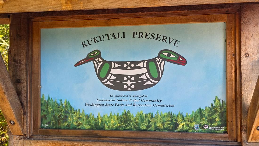
With several large conservation grants, the Swinomish Indian Tribal Community and Washington State Parks became co-owners and co-managers of Kukutali Preserve in 2010.
Since then, Parks and the Tribe have worked together to protect this unique island, while also allowing the public to hike its trails and experience its quiet beauty. Together, they removed the expansive home the Dunlaps had built, leaving a large, inviting meadow in its place, and established trails through the woodlands for us to wander the many habitats here. The tribe has numerous natural history studies taking place to better understand the island’s life. They have restored clam gardens to the beaches and removed the causeway, restoring Kukutali as a true island once again. And once again, they can call this ancestral land their home.
Fifteen years since the island was acquired, Kath and I hiked across the tombolo and onto the island to reflect on the changes and to experience once again the natural beauty and uniqueness of Kukutali. We had to leave Murphy at home as dogs (and bikes and drones) are not allowed here.
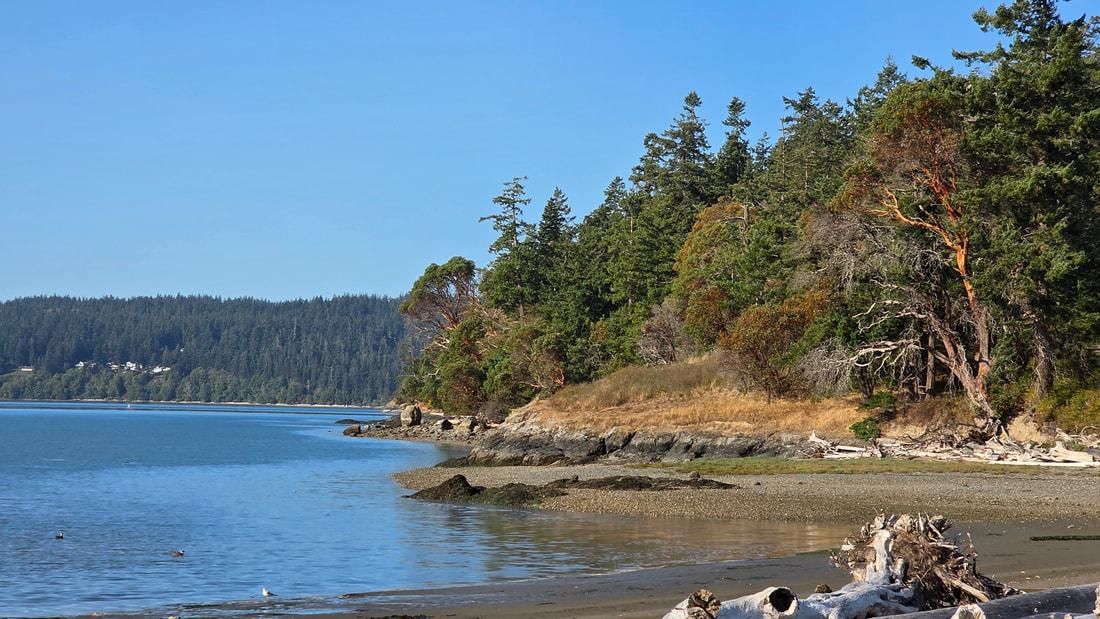
Walking down the gravel roadway is such a grand welcome to the island ahead. Crossing the tombolo and tidelands, covered with the bones of fallen trees, is like entering a sacred homeland, separated from our mainland concerns. Our conversations became a silent communion. Bird life became the only voices – a kingfisher rattled, a heron posed, then later squawked away to new hunting grounds. Kinglets, sparrows, wrens, gulls, and others shared their own stories of life here on the island. We hiked through the old growth on the north trail, down to the former home site, then onto the other tombolo connecting Kukutali with Flagstaff Point (a special habitat off-limits to people).
This day was magical, peaceful, restorative. The tide was receding, and sunshine blazed and reflected off the waters. Crabs walked sideways beneath the surface; herons fished nearby.
We lingered a few minutes in the meadow, picturing women weaving cattail mats, men tending to fish nets or bird nets, children running along the shoreline, people our age helping and happy to be here.
Kath and I were happy to be here, too, absorbing all the stories swirling around us, the past, present, and future flowing together, families gathering to harvest, elders passing down teachings to young ones, and all working together in harmony, mixing into a tapestry, a cattail mat, a living heritage that belongs to us all.
Our hearts were full as we returned to our lives, our reality of today. What once was is becoming what can be again. Kukutali is better than ever.
Directions
Directions: From the Sharpe's Corner roundabout on Highway 20 east of Anacortes, go two miles east and turn right (south) on Reservation Road. Drive 1.5 miles to Snee-Oosh Road (yes, that's its name) which angles to the right. Drive 1.3 miles to the Kukutali Preserve parking area on your right. Parking permit required. The lot was empty when we got there at 9 a.m., and full when we returned a couple hours later. On a Monday. In mid-September. Time your hike for less than a full high tide as it is an island at times.
By Bike: Reservation Road is 50 mph with narrow shoulders but light traffic, with a steady climb to Snee-Oosh, which is 45 mph with even less traffic and mostly downhill to Kukutali.
Mobility: The main trail is hard-packed gravel to the beach, which is a typical uneven gravelly beach. The trails are somewhat hilly.